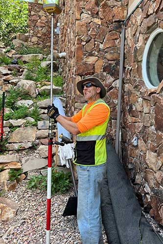
Record of Survey
A Record of Survey (Boundary Survey) is needed when you want to know where your property corners are located on the ground. We will find or set monuments at each property corner. This survey will enable you to enjoy your property to its fullest extent. This survey is ideal for building a fence or putting up a shed,swing set or landscaping features. This survey will be filed with the County as an Official Record. Also if you are wanting to do a Plat Amendment or Lot Line Adjustment you must have a filed Record of Survey of the properties being modified.
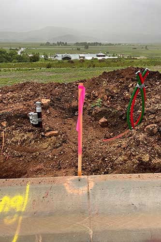
Record of Survey & Topographical Map
Record of Survey & Topographical Map surveys – Our most popular product - are needed when you are wanting to build and improve a vacant lot or do an addition to an existing property. We will locate your property corners on the ground and will find or set monuments at the property corners. The topography map includes 2 foot contours over the entire lot, locate the existing road and all visible utilities or utility stubs. The contour map will enable your design team to place your home both horizontally and vertically to ensure it is in the building envelope and complies with any building height restrictions. Also, this will allow for the driveway design to meet the grading requirements of your particular jurisdiction. If you are doing an addition to an existing home this survey would include the existing buildings, finished floor elevation of the main level and garage, locate the existing driveway, decks and landscaping features. This survey will be filed with the County as an Official Record.
Plat Amendment
A Plat Amendment is needed when adjusting lot lines of properties in a platted Subdivision. Combine two lots into one or exchange some property with your neighbor. A filed Record of Survey is required by the County for before the County will approve this. We will create new legal descriptions for each piece of property and a legal descriptions of the properties transferred. This will be reviewed the County Recorder, Attorney, Engineer and Planning department. Monuments will be set new property corners.
Lot Line Adjustment
A Lot Line Adjustment is similar to a Plat Amendment but involves Parcels of land outside of a Subdivision. An exhibit and new legal descriptions will be needed when doing a Lot Line Adjustment. A filed Record of Survey is required by the County for before the County will approve this.
Easements
An Easement is needed when access, utility or for any other purpose is needed to cross your property or a property owned by another. We will create an exhibit showing the easement along with a legal description of it. All parties involved will have to have their signatures notarized and filed at the County.
Slope Analysis
Optional Notes or Sub-section TitleA Slope Analysis may be required by your local jurisdiction when you are building on a steep slope property. This is a color coded map that generally shows the grades in 0-25%, 25%-35% and 35%+. Grades can be changed to whatever your jurisdiction may require.